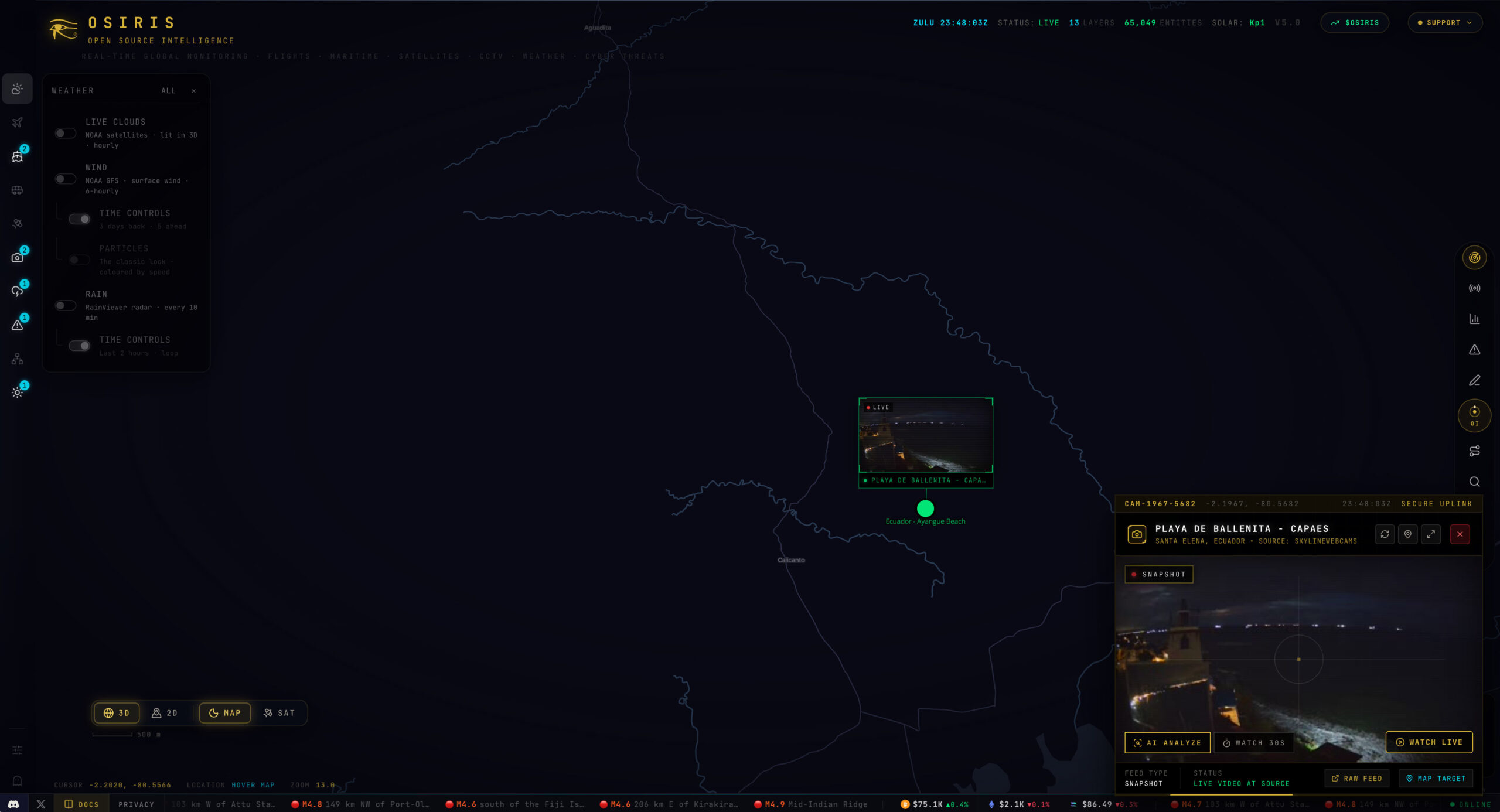
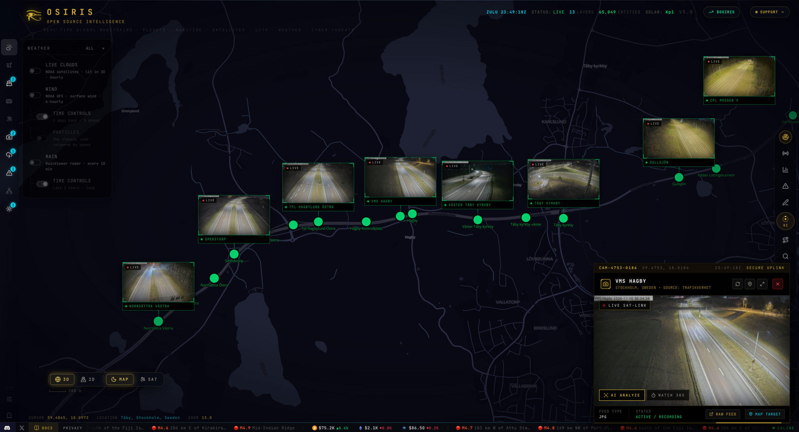
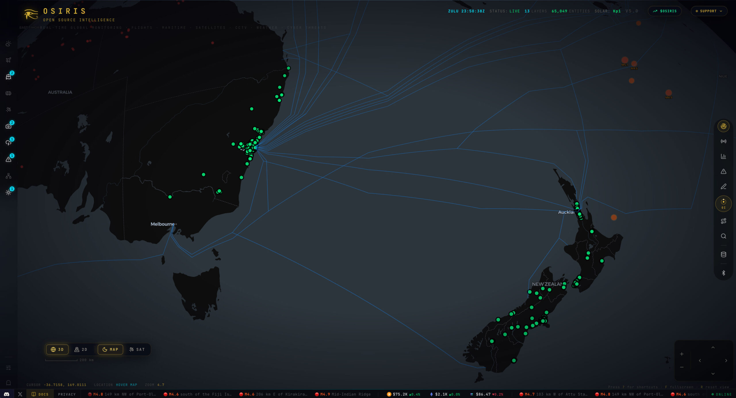
Osiris is a free, open-source Open Source Intelligence (OSINT) and global monitoring dashboard that displays real-time data on an interactive 3D globe map. It brings together public real-time data feeds, such as live aircraft tracking, satellite positions, worldwide CCTV camera feeds, maritime traffic, weather, wildfires, and earthquakes—onto a single GPU-rendered globe. Almost feels like a live streaming news channel or maybe even how news might be presented in the future from a user driven point of view. What’s happening in my part of the world? Some screen grabs below – take a look for yourself at osiris.live – who is monitoring the monitors?